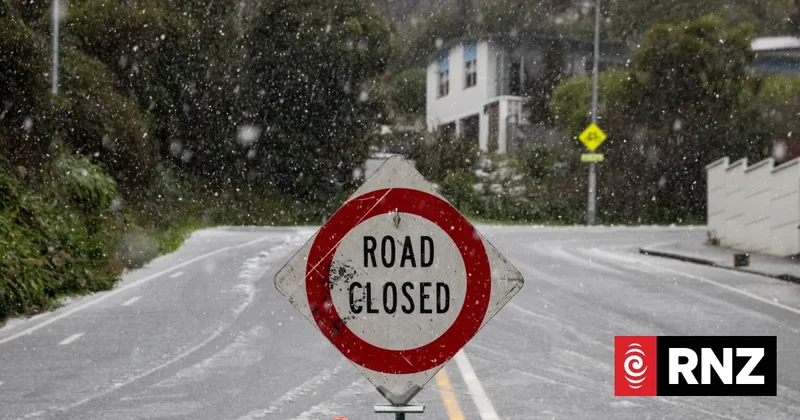
Weather: Cold snap on the way, hazardous snowfall possible
A wintry blast is heading toward the North Island, the MetService says, bringing below-average temperatures and frosty conditions later in the week.
Forecaster Gerard Bellam said a front was passing over the South Island on Saturday, with snow falling to 400m in Southland and Otago and 500m for the Canterbury region.
He said the frosty weather could extend as far north as the Coromandel and Auckland later next week.
A strong wind watch has been issued for Wellington, the Marlborough Sounds and the Kaikoura Coast, and a heavy rain watch is in place for the Wairoa District.
The New Zealand Transport Agency (NZTA) wanted drivers to plan ahead, with potentially hazardous snowfalls expected to hit the central South Island Saturday afternoon.
The worst falls were expected to affect major Canterbury highways at Lewis Pass, Arthur's Pass, Porters Pass, Lindis Pass and Crown Range Road.
NZTA said winter driving conditions could affect traction and urged drivers to slow down, increase their following distances, avoid sudden braking and to stay as visible as possible.
It also recommended carrying warm clothing, food and water in case of travel delays or detours.