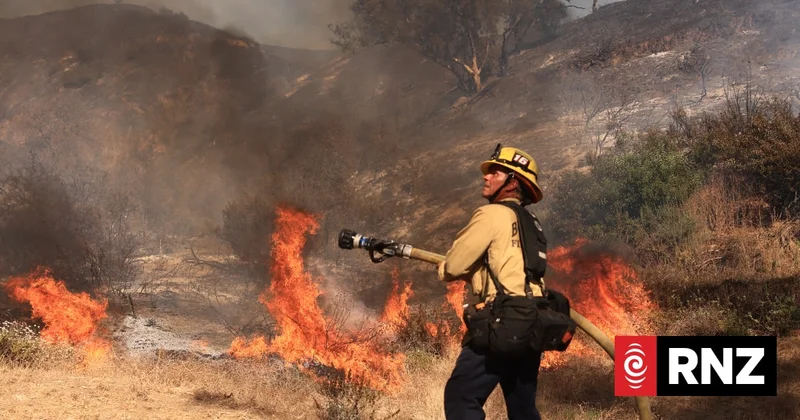
- Soon entire constellations of satellites dedicated to spotting wildfires will be circling the earth
- A local data scientist is urging New Zealand to get on board - and the country is beginning to with a new national fire fuels map on its way
- But a rural fire expert says the country first needs to get the basics right and manually fix gaps in wildfire data
In May a rocket carrying four wildfire detecting satellites took off in a project to set up a world-first - Greece's new Hellenic Fire System.
Greece is among several European countries currently ravaged by wildfires.
Its system is finding its feet. "We can have the information of starting fires very quickly, and this is something amazing, the early detection," global vice president of the International Association of Fire and Rescue Services Zisoula Ntasiou told PBS News.
"If we have more time we can save properties, we can save lives."
Last year eight similar fire-spotting satellites from the same German company OroraTech went up from Mahia via Rocket Lab.
A second initiative sent up three satellites last month for what the not-for-profit Earth Fire Alliance intends to be a 50-strong constellation that by 2029 has coverage across the earth with sweeps every 20 minutes.
The US - where New Zealand firefighters have headed to help battle the latest big blazes in the northwest and Canada - has this year expanded how it taps into commercial satellite systems. It has already been tapping military satellites more and more to fight fires.
The satellites use AI systems and much more precise thermal cameras than before to spot even very small fires through cloud and smoke.
NZ urged to join up
Dr Finlay Thompson of Dragonfly Data Sciences in Wellington urged New Zealand to join the global satellite efforts for which he sees wide benefits.
"The monitoring of impacts from disasters is wide, and what you need to do monitoring for fires is similar to what you need to do for monitoring for cyclones and earthquakes," Thompson said.
The government has a national space mission with an aim to put up a sovereign satellite.
Thompson, though, who has helped satellite-map wildfire impacts in California, said a single satellite was limited and any sovereign one perhaps could be incorporated into a multinational web.
"It's much better for us to join in with consortia internationally ... it's much more cost effective and more useful for us to be part of that."
First fuel map
Getting ahead of fires after they start this way is one thing; getting ahead before ignition is another - and New Zealand is trying to do that.
The Bioeconomy Science Institute is about to hook up to a Nasa satellite to build the country's first fire fuel map showing where the most vulnerable farm, forest, scrub and grasslands are.
Shana Gross is a fire scientist with the institute as well as a trained firefighter.
"We actually have a lot better tools and technology now too to make it easier," Gross said, explaining why this was not done years ago as priorities were juggled.
"There's more frequent satellites, there's better satellite products, there's better deep learning models to segment the fuel types.
"And so we'll have fuel types across the country and our intention is to update that maybe quarterly so that we capture those disturbances or changes in the landscape."
First things first
But Murray Dudfield, who led national rural firefighting for over two decades and chairs the national institute of forestry's fire committee, favours the basics.
"We're relying on technology to give us the results that were done manually prior to 2017."
Back then the rural fire authorities provided reams of written records countrywide of all large wildfires, maybe 100 or 200 a year. Some of that data, such as around the land-use where fires broke out, had been lost after the authorities were incorporated into Fire and Emergency, Dudfield reported recently to the Forest Owners Association.
He believes satellites are not yet a substitute as they struggled to tell the difference between a wildfire and a controlled burnoff.
"Until we have a satisfactory solution with the satellite technology - and it will come at some point, I've got no doubts about that - but I think before that, we need to go back to the system we had prior to 2017."
Another veteran rural fire expert Alan Thompson said rural fire data had deteriorated significantly.
"There are lots of reasons for this happening but primarily it is a lack of commitment and action by FENZ as an urban-based organisation that has caused this."
He noted how official wildfire summary reports had been coming out later and later after the end of the fire season, from just a couple of months after it in 2019 to about two years after it recently, though the reports were meant to help regions prepare ahead of the following fire season.
New moves
However, some additional data is getting through: A new Wildfire Occurrence Database has just opened up to the public.
Fire and Emergency which declined an interview says it's committed to continual improvement.
It had significantly improved the data it collects and was using a new fire mapping app, and sometimes drones too, it said.
"These technologies provide increasingly accurate information about wildfire extent."
Dudfield said not enough fire data was making it to those who needed it.
FENZ said it was "aware that advances in earth observation technology are providing many international agencies with enhanced capabilities for measuring wildfire extent".