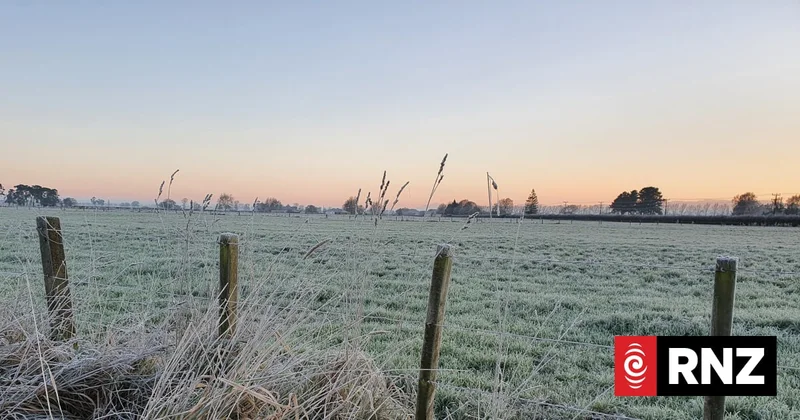
Freezing start for much of New Zealand as bitter cold snap continues
Much of the country had a frosty start with a second day of cold early morning temperatures.
The lowest temperture about 5am on Tuesday was Waiouru which had hit -4.9C. Masterton, Hamilton and Rotorua plunged to -3C.
MetService recorded Taupō at -1C, while Auckland was a relatively mild 5C.
In the south, Blenheim was at -1C, and Christchurch and Nelson shivered in 0C temperatures.
It followed Cold and frosty mornings around the country on Monday morning, with Taupō falling to -5.6°C and Christchurch reaching -4.7°C.
MetService said it expected the frosty mornings to continue through the first half of the week, especially across the North Island.
Meteorologist Devlin Lynden said the cold start was being driven by clear skies and light winds.
"With calm, clear nights, heat escapes easily into the atmosphere, allowing temperatures to plummet before sunrise. Sheltered inland valleys become even frostier as cold air settles into low-lying areas."
While there was another cold start on Tuesday morning, overnight temperatures later in the week should be warmer as northerly winds develop.
The South Island has also seen frosty mornings, although increasing northerly winds have prevented temperatures from dropping too harshly.
Those winds should strengthen through Tuesday and Wednesday ahead of a front bringing a change in the weather toward the rest of the week.
Power demand surges
Transpower NZ said the cold weather this week was leading to record electricity demand, with Monday's peak demand of 7141 MW an all-time record.
Transpower - which is responsible for maintenance and transmission of the electric power grid - said it was working with the electricity sector to increase the amount of electricity that is available.
"We aren't anticipating any impact on power supply to homes or businesses."