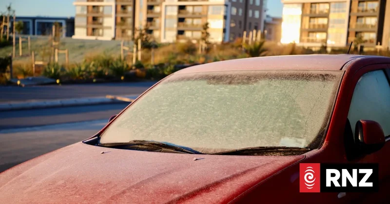
Cold snap almost over - but not quite
It's another chilly morning for much of New Zealand, but MetService says Wellington will be the warmest city.
"We've got a frontal system moving in from the west on Saturday that will mean northerly winds and warmer moist air and some rain, so that'll be the end of the clear skies and light winds, which are the conditions you need for very cold overnight temperatures," he explained.
"Into early next week we're not expecting any minimums in the order of what we've seen the last two or three nights."
Overall he said Friday's conditions would be very similar to Thursday's.
"The North Island's going to be pretty similar, if anything maybe a touch colder, but very similar," he said.
"[But] over in the east, expecting it to be a good deal colder this morning because the cloud cover's dissipated there and moved offshore, so Napier and Hastings going to -4, and then Dannevirke and Masterton -5, so they'll be a good deal colder."
"In the South Island, not a great deal warmer but a touch warmer."
Of the cities, he said morning commuters in Wellington would be best off.
"Wellington's probably going to be the warmest city around, the Hutt Valley might get down around freezing but in the city itself maybe 4 or 5 degrees [during the morning]," he said.
"Auckland's in the low single digits, 1 or 2 maybe, and Christchurch going to -3."
Temperatures would remain brisk on Saturday morning, but start to warm up.
"We've probably got another [cold day] for parts of the North Island on Saturday morning, but nothing like the last couple of days," he said.