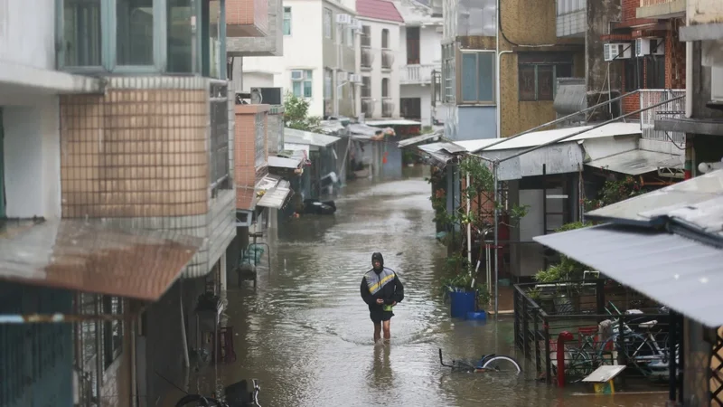
Parts of northern Hong Kong face highest climate disaster risk, study finds
Hong Kong Red Cross urges government to include climate resilience in its long-term development plans
A report released by the charity on Thursday also said that more than 50 per cent of the city faced high-risk threats from two or three types of hazards, such as typhoons, extreme heat or fires, simultaneously.
“In planning Hong Kong’s future, this risk map helps all sectors gain earlier insights into regional disaster risks during the initial stages of planning new communities, enabling disaster prevention and preparedness to be integrated into development blueprints,” Hong Kong Red Cross CEO Eleanor Lam Chuen-ping said.
“We hope the government will prioritise supporting facilities in high-risk and rural areas, and include climate resilience in its long-term development plans.”
Using spatial and statistical data from the government, the Hong Kong Observatory and its own public questionnaire survey, the Red Cross ranked different parts of Hong Kong according to 42 factors to assess their vulnerability to extreme weather.
The study split the city into nearly 300 zones based on the government’s Tertiary Planning Units, which are small geographic areas used for town planning and census statistics. The Red Cross said this offered a more refined analysis of the city’s areas compared with the usual 18 districts.