Sign in. It’s quick, free and it’s up to you.
An account is an optional way to support the work we do. Find out more.
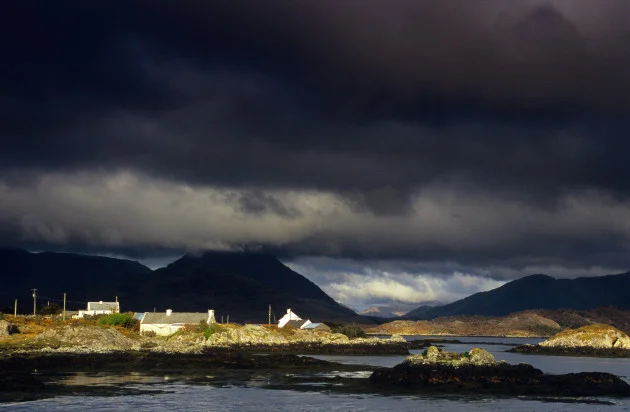
A STATUS YELLOW thunderstorm warning has been issued for Mayo and Galway.
The alert was both issued and came into effect shortly after 5am this morning and will remain in place until 9am.
Met Éireann is forecasting heavy thundery downpours and lightning, which could result in spot flooding, difficult travelling conditions, lightning strikes, and poor visibility.
Elsewhere, across the North, the UK Met Office has issued a Status Yellow thunderstorm warning for the entire region.
The warning will come into place at 12pm and remain in place until 9pm.
Meanwhile, it’s been a mostly cloudy and rather misty start for most this morning, with some scattered outbreaks of showery rain and drizzle in places.
There will be some heavy thundery downpours too for a time this morning, mainly across Connacht and possibly Ulster too, with some spot flooding.
However, it’ll brighten up with some sunny spells gradually developing, along with further showers, some heavy.
There’s a chance of further thunderstorms into the afternoon, with these most likely over parts of Ulster and Leinster.
It will be humid today, with highest temperatures of 18 to 23 or 24 degrees, warmest in the east and south.
And it will be mainly dry at first tonight, with just isolated showers and with some clear spells, the best of these across the east and south.
Cloud will then increase overnight with a scattering of showers moving in from the west and with some persistent rain and drizzle spreading into parts of Ulster, north Connacht and possibly north Leinster.
Lowest overnight temperatures of 10 to 14 degrees.
Meanwhile, tomorrow, Wednesday, will be a rather windy day, and it’ll be cloudy too, with outbreaks of rain and drizzle affecting much of Ulster, and mainly north Connacht and north Leinster.
There will be occasionally gusty westerly winds, reaching near gale or gale force in northwestern coastal parts.
The rain will be heaviest and most persistent in the northwest, with some spot flooding possible.
However, it’ll be much drier and brighter elsewhere, with some sunny spells and a few well scattered showers and mostly moderate to fresh and occasionally gusty westerly winds, strong at times.
Highest temperatures tomorrow will range from 14 degrees in the northwest, up to 19 or 20 degrees in the southeast.
To embed this post, copy the code below on your site